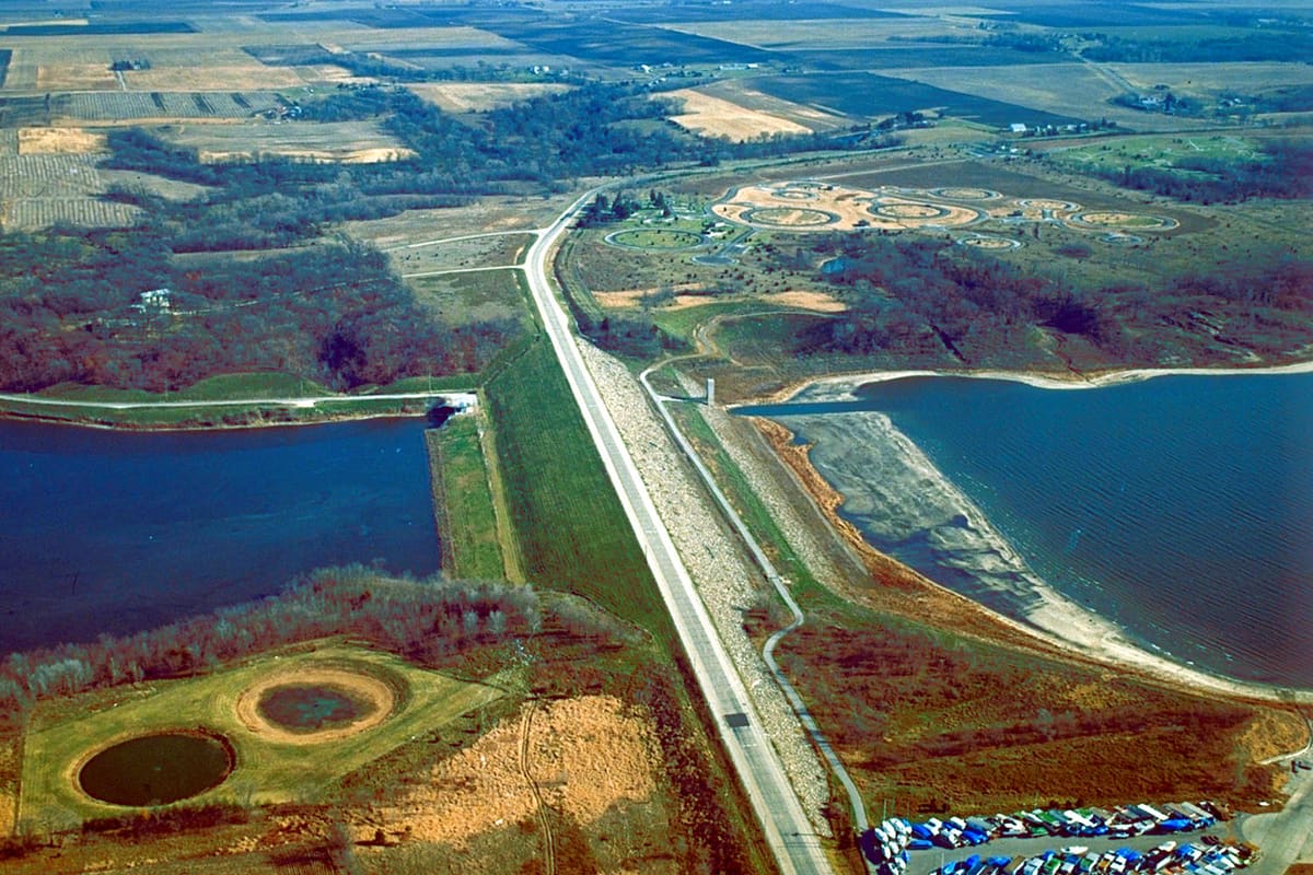
Saylorville Lake water level: Saylorville 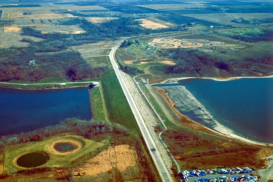 2.4 ft high
Saylorville Lake is 2.4 ft above full pool, about normal for early November. The Saylorville Lake Reservoir gauge read 838.40 ft at 7:00 AM CST, November 4, 2026.
How Saylorville stands today
- 838.40 Feet above sea level7:00 AM CST, November 4, 2026, NGVD29 datum.
- +2.40 Feet from full poolFull pool today is 836.00 ft.
- +0.33 Feet from normal for Nov 4Median of 2015–2025 is 838.07 ft. Today ranks in the 55th percentile.
- −0.59 Feet from a year ago838.99 ft on November 4, 2025.
- +0.92 Feet over 30 days+1.02 ft over the past 7 days.
The past year, day by day
The shaded band is where Saylorville usually sits on each date: the middle 80% of years from 2015 to 2025. The blue line is the past 12 months; the sand line is the 12 months before. Hover or use the arrow keys to read any day.
- Past 12 months
- The 12 months before
- Normal range (middle 80% of years)
- Median
- Full pool
Monthly average since 2014
Readings for the last 30 days
| Date | Level (ft) | Normal (ft) |
|---|---|---|
| November 4, 2026 | 838.39 | 838.07 |
| November 3, 2026 | 838.36 | 838.06 |
| November 2, 2026 | 838.07 | 838.03 |
| November 1, 2026 | 837.93 | 838.04 |
| October 31, 2026 | 837.73 | 838.06 |
| October 30, 2026 | 837.57 | 838.09 |
| October 29, 2026 | 837.49 | 838.10 |
| October 28, 2026 | 837.38 | 838.14 |
| October 27, 2026 | 837.28 | 838.20 |
| October 26, 2026 | 836.97 | 838.24 |
| October 25, 2026 | 837.29 | 838.24 |
| October 24, 2026 | 837.66 | 838.23 |
| October 23, 2026 | 837.81 | 838.20 |
| October 22, 2026 | 837.14 | 838.16 |
| October 21, 2026 | 837.03 | 838.05 |
| Date | Level (ft) | Normal (ft) |
|---|---|---|
| October 20, 2026 | 836.98 | 837.99 |
| October 19, 2026 | 837.04 | 838.00 |
| October 18, 2026 | 837.19 | 838.04 |
| October 17, 2026 | 837.31 | 838.04 |
| October 16, 2026 | 837.29 | 838.06 |
| October 15, 2026 | 836.98 | 838.08 |
| October 14, 2026 | 837.04 | 838.00 |
| October 13, 2026 | 837.08 | 837.93 |
| October 12, 2026 | 837.31 | 837.86 |
| October 11, 2026 | 837.69 | 837.79 |
| October 10, 2026 | 837.78 | 837.74 |
| October 9, 2026 | 837.34 | 837.68 |
| October 8, 2026 | 837.06 | 837.60 |
| October 7, 2026 | 836.74 | 837.57 |
| October 6, 2026 | 836.77 | 837.55 |
Is the water above your dock?
Enter the elevation of your dock, ramp end or a mark on your shoreline, in feet above sea level (NGVD29, the datum the Army Corps of Engineers uses for this gauge). You will see how far the water is above or below it today, and how often it dipped below it in each month since 2016.
| Month | Low year (10th %) | Median | High year (90th %) | Days above your mark |
|---|---|---|---|---|
| January | 835.95 | 836.74 | 839.42 | — |
| February | 836.02 | 836.62 | 839.07 | — |
| March | 835.99 | 836.51 | 839.16 | — |
| April | 835.92 | 836.27 | 846.87 | — |
| May | 836.21 | 837.10 | 854.52 | — |
| June | 836.16 | 836.83 | 856.11 | — |
| July | 836.09 | 836.88 | 874.41 | — |
| August | 836.04 | 836.38 | 843.20 | — |
| September | 836.06 | 836.44 | 838.47 | — |
| October | 835.20 | 837.49 | 846.97 | — |
| November | 836.07 | 838.15 | 840.47 | — |
| December | 835.54 | 837.09 | 839.15 | — |
Other Iowa lakes, lowest first
| Lake | Level (ft) | Vs full pool |
|---|---|---|
| Rathbun Lake | 906.25 | 111.6% full |
 Coralville Lake | 687.30 | 4.3 ft above |
 Lake Red Rock | 747.32 | 5.3 ft above |
Saylorville questions
What is full pool at Saylorville Lake?
Full pool at Saylorville Lake is 836.00 ft above sea level today. The agency's own term for it is “top of conservation.”
Is Saylorville Lake full right now?
It is over full: 2.4 ft above full pool, with flood storage up to 890.00 ft. Water above full pool is flood water the dam is holding back and releasing over time.
Is Saylorville Lake lower than normal for early November?
No, it is close to normal. The median level on Nov 4 across 2015–2025 is 838.07 ft, and today's 838.40 ft is +0.33 ft from it. In 8 of 10 years the level on this date fell between 836.73 and 840.83 ft.
How does Saylorville Lake compare with last year?
A year ago, on November 4, 2025, it stood at 838.99 ft. It is 0.59 ft lower now.
What are the highest and lowest levels since 2014?
In the daily record we hold, which starts in 2014, the highest daily level was 886.17 ft on July 9, 2018 and the lowest was 831.57 ft on January 2, 2023.
How often is this page updated?
We pull new readings from the U.S. Army Corps of Engineers several times a day. This page was last rebuilt on Wed, 04 Nov 2026 13:52:28 UTC. Readings are provisional and can be revised by the agency.