Who decides how full a lake is
A reservoir's level is set by people following a written plan. Rain and drought decide how much water arrives; the dam operator decides how much stays.
The agencies behind the dams
324 of the lakes on this site are run by the U.S. Army Corps of Engineers and 14 by the U.S. Bureau of Reclamation. A few natural lakes are measured by the U.S. Geological Survey and have no operator at all.
Army Corps of Engineers
Corps reservoirs were mostly built for flood control and navigation, with hydropower, water supply, recreation and fish and wildlife added as authorized purposes. Each one is operated under a water control manual that sets target levels through the year and the rules for releasing water. District water managers adjust releases daily, sometimes hourly, to stay near the target without flooding anyone downstream.
Bureau of Reclamation
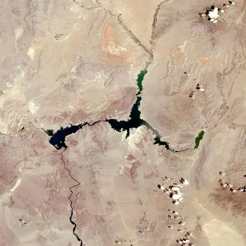
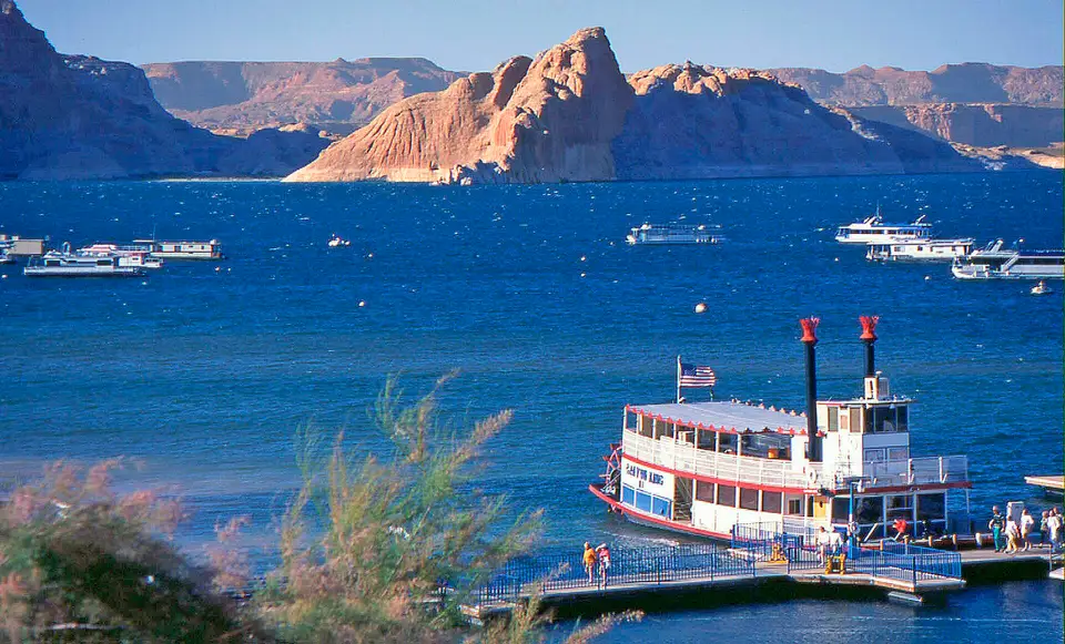
Reclamation reservoirs in the West exist mainly to store water for irrigation, cities and hydropower. They catch snowmelt in spring and early summer and are drawn down through the growing season as water is delivered under contracts and water rights. Their levels depend heavily on the winter's snowpack, and the largest systems, such as the Colorado River's Lake Mead and Lake Powell, run under multi-state agreements and annual operating plans.
What the operator balances
- Flood space. Keeping room in the reservoir for the next storm, which may mean releasing water even when the lake looks low to people on it.
- Downstream needs. Minimum flows for navigation, fish, water quality and water supply intakes below the dam.
- Hydropower. Turbines generate when power is needed, which can make the level move a little every day.
- Contracts and rights. Water owed to irrigation districts, cities and other states.
- Recreation. A consideration in most plans, but rarely the one that decides.
Why a lake can fall after rain, or rise in a dry spell
Inflow and outflow move independently. After a big storm, a reservoir above its target releases water as fast as the river below can take it, so the lake can keep falling for days after the rain has passed. In a dry spell, an operator may cut releases to the minimum to hold water back, so the lake can hold steady or even rise slightly while the countryside dries out. The trend lines on each lake page show the net of both.
Drought plans
When inflows stay low, many reservoirs move to a drought plan written into their manual or agreements: releases are reduced in stages, and some uses are cut before others. The agency announces these stages publicly. A lake page will show the result as a lake that is lower than usual for the date but falling more slowly than in a normal year.
Moving the most right now
The largest changes over the past 30 days, from the latest readings. Fast falls in autumn are often scheduled drawdowns; see why lakes are lowered in winter.
| Lake | Level (ft) | 30 days |
|---|---|---|
| F. E. Walter Reservoir PA | 1,301.19 | −53.7 ft |
| Green Peter Reservoir OR | 836.21 | −46.7 ft |
| Blue River Lake OR | 1,205.32 | −38.7 ft |
| Dorena Lake OR | 769.56 | −36.6 ft |
| Cougar Reservoir OR | 1,518.74 | −22.0 ft |
| Detroit Lake OR | 1,481.22 | −21.3 ft |
| Navajo Lake NM/CO | 6,050.39 | +34.3 ft |
| Lemon Reservoir CO | 8,140.46 | +25.4 ft |
| Vallecito Reservoir CO | 7,663.61 | +24.7 ft |
| Abiquiu Lake NM | 6,219.83 | +18.3 ft |
| Elephant Butte Reservoir NM | 4,306.62 | +15.9 ft |
| Lake Powell UT/AZ | 3,534.50 | +15.6 ft |
Where to ask
Each lake page links to the operating agency's own page for that dam. For questions about a planned change, a ramp closure or a release schedule, the agency's district or area office is the authority. For questions about the numbers on this site, contact us.
More lake level guides
- What “full pool” means: Full pool, flood pool and dead pool: the layers of a reservoir, and why a lake above full pool is not a full lake.
- Why lakes are lowered in winter: Why many Corps lakes drop several feet every fall on purpose, and which ones are drawn down the most.
- How to read a lake elevation: What a reading like 1,071.3 ft means, why lakes cannot be compared by elevation, and what NGVD29 and NAVD88 are.
- Will my dock or ramp be dry?: A tape-measure method to find the elevation of your dock or ramp, and what to watch for when the water is low.
Lakes people check most